
Rising waters pose a serious threat to coastal and riverside communities worldwide. Monitoring tides and floods doesn’t always require expensive technology—simple, accessible solutions can keep you informed and safe. 🌊
Understanding the Real Threat of Rising Waters in Your Neighborhood
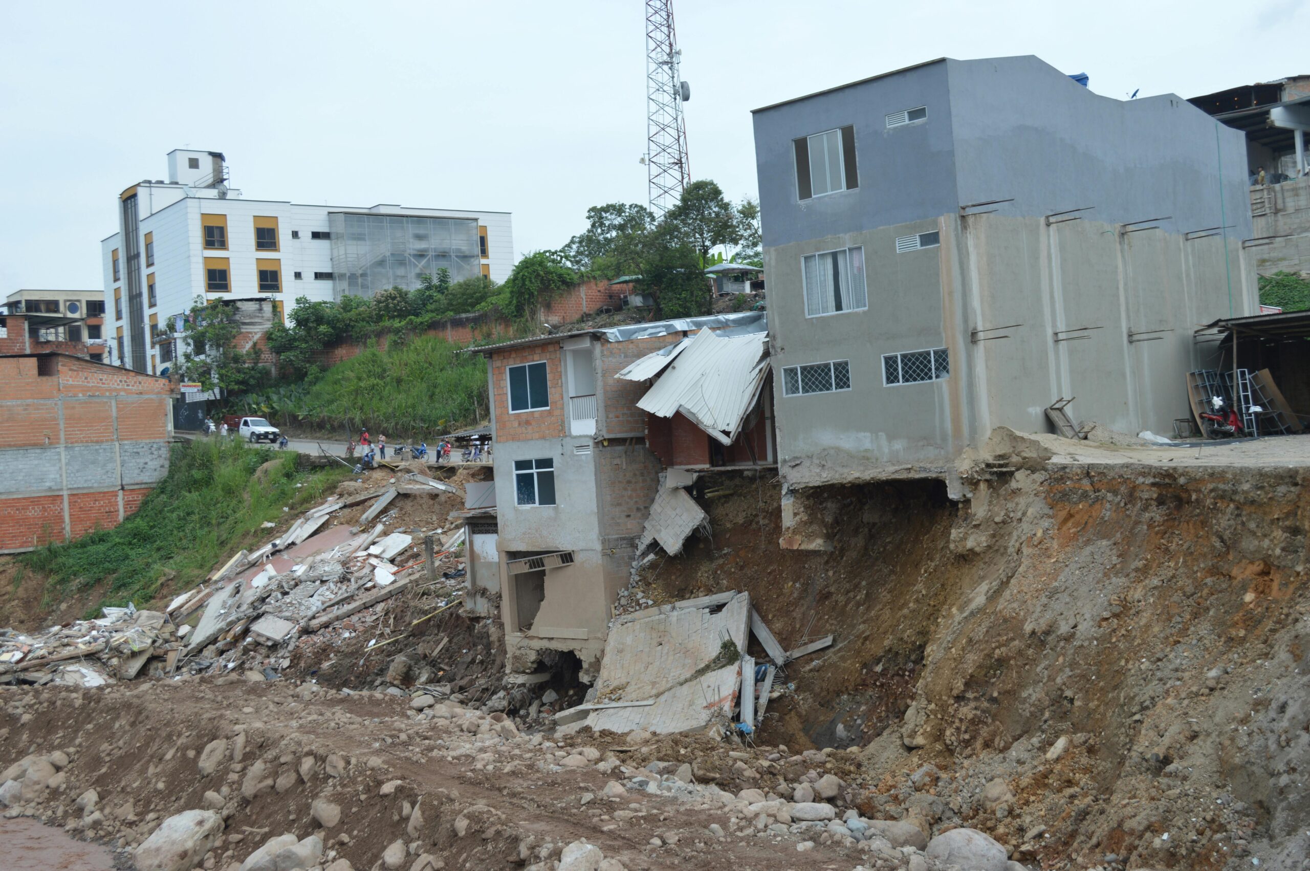
Climate change has intensified the frequency and severity of flooding events across the globe. Coastal communities, river valleys, and low-lying urban areas face unprecedented challenges as sea levels rise and weather patterns become increasingly unpredictable. The devastating impacts of flooding extend beyond property damage, affecting infrastructure, public health, agricultural productivity, and community cohesion.
Traditional flood monitoring systems often rely on sophisticated equipment and centralized data networks that may not be accessible to all communities, particularly in developing regions or rural areas. However, the democratization of environmental monitoring through low-tech solutions empowers ordinary citizens to take proactive measures in protecting their homes and neighborhoods.
Community-based monitoring programs have proven remarkably effective in providing early warnings and supplementing official meteorological services. These grassroots initiatives leverage simple tools, local knowledge, and collaborative networks to create resilient systems that can function even when power grids fail or communication networks become compromised during extreme weather events.
Why Low-Tech Solutions Matter More Than Ever
While advanced technology offers sophisticated forecasting capabilities, low-tech approaches provide crucial advantages that shouldn’t be overlooked. These methods remain functional during power outages, require minimal financial investment, and can be maintained by community members without specialized technical training.
Low-tech solutions foster community engagement and environmental awareness. When residents actively participate in monitoring water levels, they develop a deeper understanding of local hydrological patterns and become more invested in flood preparedness initiatives. This collective knowledge creates social capital that proves invaluable during emergency situations.
Furthermore, simple monitoring systems can be implemented immediately without waiting for government funding or infrastructure development. Communities facing imminent flood risks can establish basic warning systems within days rather than years, potentially saving lives and property long before sophisticated systems become available.
Setting Up Visual Water Level Markers: Your First Line of Defense 📏
Visual markers represent the most fundamental yet effective method for monitoring water levels. These simple indicators allow anyone to quickly assess whether water levels are rising, falling, or remaining stable—information critical for making evacuation decisions.
Creating permanent markers involves installing graduated posts or painting measurements on existing structures like bridge pillars, seawalls, or building foundations. Use waterproof paint in high-visibility colors, marking measurements in both metric and imperial units for universal understanding. Position markers at multiple locations throughout your community to capture variations in water behavior across different areas.
Temporary markers can be deployed during flood seasons using materials like bamboo poles, PVC pipes, or even color-coded ribbons tied to trees at specific heights. The key is establishing clear reference points that everyone in the community can easily read and interpret without specialized equipment.
Best Practices for Visual Marker Placement
Strategic placement maximizes the effectiveness of your visual monitoring network. Install primary markers at locations where water first appears during floods, at key infrastructure points like roads and bridges, and near vulnerable residential areas. Secondary markers should be positioned upstream to provide advance warning of approaching floodwaters.
- Choose stable, permanent structures that won’t shift or deteriorate quickly
- Ensure markers are visible from safe observation points during high water
- Document “normal” water levels during different seasons for comparison
- Photograph markers regularly to create a visual database of changing conditions
- Paint markers with reflective or glow-in-the-dark paint for nighttime visibility
Creating a Community-Based Tide and Flood Observation Network
Individual observations become exponentially more valuable when shared across a coordinated network. Establishing a community observation system transforms isolated data points into comprehensive situational awareness that benefits everyone.
Begin by recruiting volunteers from different neighborhoods, particularly those near waterways or vulnerable areas. Train observers to take consistent measurements at scheduled times—typically twice daily during normal conditions and hourly during flood warnings. Standardizing observation protocols ensures data reliability and comparability across locations.
Create simple reporting mechanisms that don’t rely on internet connectivity. A phone tree system, where observers call designated coordinators who compile information and disseminate warnings, functions reliably even when digital systems fail. Supplement this with visual signals like flags or lights that indicate different alert levels, providing immediate status updates to anyone who can see them.
The Floating Gauge Method: Simple Yet Highly Effective 🎯
Floating gauges offer precision monitoring with minimal cost and maintenance. This method uses a buoyant object connected to a graduated measurement system, providing accurate real-time water level data without electrical power or complex instrumentation.
Construct a basic floating gauge using a plastic bottle or foam float attached to a counterweighted string or chain that runs over a pulley system. As water rises, the float ascends, moving an indicator along a vertical scale. This mechanical system requires no batteries or calibration and can function reliably for years with minimal maintenance.
More sophisticated versions can incorporate simple recording mechanisms—a pencil attached to the counterweight marking a rotating drum covered with paper provides a continuous graphical record of water level changes over time. This creates valuable historical data for identifying patterns and trends in your local waterways.
Traditional Knowledge Meets Modern Needs: Indigenous Monitoring Methods
Indigenous communities have monitored environmental changes for millennia using observation techniques perfectly suited to local conditions. These time-tested methods often outperform modern technology in specific contexts and deserve incorporation into contemporary monitoring systems.
Natural indicators like specific plant species only found at certain elevations, animal behavior patterns that change before storms, or seasonal markers tied to celestial events provide reliable environmental cues. Engaging with indigenous knowledge holders and elderly community members reveals valuable insights often overlooked by conventional approaches.
Biological markers prove particularly useful for understanding long-term changes. Documenting where certain moss species grow on rocks, noting the highest extent of saltwater-tolerant vegetation, or observing changes in fish species distribution all provide information about gradual shifts in water patterns that might indicate increasing flood risks.
Smartphone Apps as Low-Tech Bridges to Modern Data 📱
While this article focuses on low-tech solutions, smartphones offer an accessible bridge connecting simple observations with broader data networks. Many communities have at least some members with smartphone access, even in resource-limited settings.
Several free applications allow users to report water levels, share photos of flood conditions, and receive alerts from official sources. These apps require minimal data bandwidth and can function with intermittent connectivity, making them practical supplements to purely mechanical monitoring systems.
Applications like Google Maps can be used offline by downloading area maps in advance, helping community members navigate during evacuations and mark flooding extent. Simple weather apps provide basic forecasts that inform monitoring schedules and preparedness activities.
Building Your Own Rain Gauge and Interpreting Local Precipitation
Understanding rainfall patterns in your immediate area provides crucial context for flood risk assessment. Commercial rain gauges cost money and may not be readily available, but effective alternatives can be constructed from common household items.
The simplest rain gauge uses a straight-sided container like a tin can or plastic jar with measurement markings. Place it in an open area away from trees and buildings, elevated slightly above ground to prevent splash-back contamination. Check and record measurements at the same time daily, emptying after each reading.
For improved accuracy, create a funnel system where rain collects through a wide opening but funnels into a narrow measuring tube, amplifying small amounts for easier reading. A large funnel connected to a graduated cylinder provides reasonably precise measurements comparable to commercial gauges.
Connecting Rainfall Data to Flood Risk
Raw rainfall numbers become actionable intelligence when interpreted through local context. Work with your community to establish rainfall thresholds that historically correlate with flooding events. For example, you might determine that 2 inches of rain within 24 hours typically causes minor flooding in low-lying neighborhoods, while 4 inches triggers major evacuations.
| Rainfall Amount (24 hours) | Typical Community Impact | Recommended Action |
|---|---|---|
| 0-1 inch | Normal conditions, no concern | Continue routine monitoring |
| 1-2 inches | Minor pooling in known problem areas | Increase observation frequency |
| 2-3 inches | Street flooding in low areas begins | Prepare emergency supplies, monitor alerts |
| 3-4 inches | Significant flooding of vulnerable properties | Consider evacuation of at-risk areas |
| 4+ inches | Major flooding event likely | Execute emergency response plans |
Creating Physical Alert Systems That Work Without Electricity
Warning systems must function during the exact circumstances when floods occur—often during storms that disrupt power and communication infrastructure. Physical alert mechanisms provide fail-safe options that complement digital notifications.
Bell or siren systems operated manually by observers provide immediate audible warnings across neighborhoods. Establish distinct signal patterns: three short rings for “monitor conditions closely,” continuous ringing for “evacuate immediately.” Position these at elevated locations like church towers or community centers where they remain accessible during initial flooding.
Visual warning systems using flags, lights, or colored banners displayed at prominent locations offer silent alternatives useful during night hours or for community members with hearing impairments. A standardized color code—green for normal, yellow for watch, orange for warning, red for emergency—provides instantly recognizable status updates.
Documenting and Learning from Each Water Event 📝
Every tide cycle and flood event offers learning opportunities that improve future preparedness. Systematic documentation transforms individual experiences into collective wisdom that enhances community resilience over time.
Establish a community logbook recording water levels, rainfall amounts, flood extent, response actions taken, and outcomes observed. Include photographs whenever possible, as visual records communicate patterns and changes more effectively than written descriptions alone. Date and time-stamp all entries for accurate pattern analysis.
After each significant event, conduct community debriefs where observers share experiences and discuss what worked well versus what needs improvement. These conversations identify gaps in monitoring coverage, reveal unexpected flooding pathways, and generate ideas for system enhancements.
Connecting Local Monitoring with Regional Data Sources
While maintaining independence, local monitoring networks benefit from connections to official meteorological services and hydrological agencies. These connections provide access to broader weather patterns, upstream conditions, and professional expertise that enhances local observation interpretation.
Many national weather services offer free data access through websites, automated phone systems, or radio broadcasts. Designate community members to regularly check these sources and relay relevant information to the local monitoring network. Understanding regional forecasts helps observers anticipate local conditions and adjust monitoring intensity accordingly.
Some agencies actively welcome community-submitted data that fills gaps in their official networks. Contributing your observations helps improve regional forecasting while establishing relationships that may bring resources or support to your community monitoring efforts.
Maintaining Momentum: Keeping Your Monitoring System Active Year-Round
The greatest challenge facing community monitoring initiatives isn’t technical—it’s maintaining volunteer engagement during calm periods. Systems that function only during crises fail to detect gradual changes and lack the practiced coordination needed for effective emergency response.
Establish regular schedules that keep observers engaged without creating burdensome obligations. Weekly measurements during normal conditions maintain familiarity with procedures while generating baseline data. Rotate responsibilities among volunteers to prevent burnout and ensure redundancy if key individuals become unavailable.
Recognize and celebrate contributions publicly. Share interesting observations at community meetings, acknowledge volunteer efforts in local media, and organize annual events commemorating the monitoring network. These activities sustain motivation while raising broader community awareness about flood risks and preparedness.
Empowering Communities Through Accessible Monitoring 💪
Low-tech flood and tide monitoring transforms communities from passive victims awaiting external assistance into active agents of their own safety. These accessible approaches demonstrate that effective environmental monitoring doesn’t require expensive infrastructure—it requires commitment, collaboration, and consistent observation.
The methods described here have protected communities worldwide, providing early warnings that saved lives and property when official systems failed or didn’t exist. They cost little to implement, require no specialized technical expertise, and create social connections that strengthen community resilience beyond flood preparedness alone.
Start small with a few visual markers and dedicated volunteers, then expand gradually as you gain experience and demonstrate value. Every community possesses the resources needed to monitor local water conditions—the primary requirements are awareness, organization, and commitment to collective safety.
Rising waters present serious challenges, but communities equipped with knowledge, simple tools, and collaborative spirit possess remarkable capacity to protect themselves. Low-tech monitoring solutions put environmental intelligence directly in the hands of those who need it most, creating resilient communities better prepared to face the uncertainties of our changing climate. The time to begin is now, before the next tide rises or storm approaches. Your community’s safety may depend on the monitoring network you establish today.